Overlanding in Death Valley
The trip started with an invite from a good friend coming off night shift in need of a driver. We planned the trip with hopes of a wonderful 60-75 °F. With the sudden change in weather we began anticipating 20-30 °F each evening with a high of 55 °F.
As always the trip became a fun adventure with friends. Remember layers!
I captured the entire adventure via Backcountry Navigator via a GPX file.
The Journey Starts
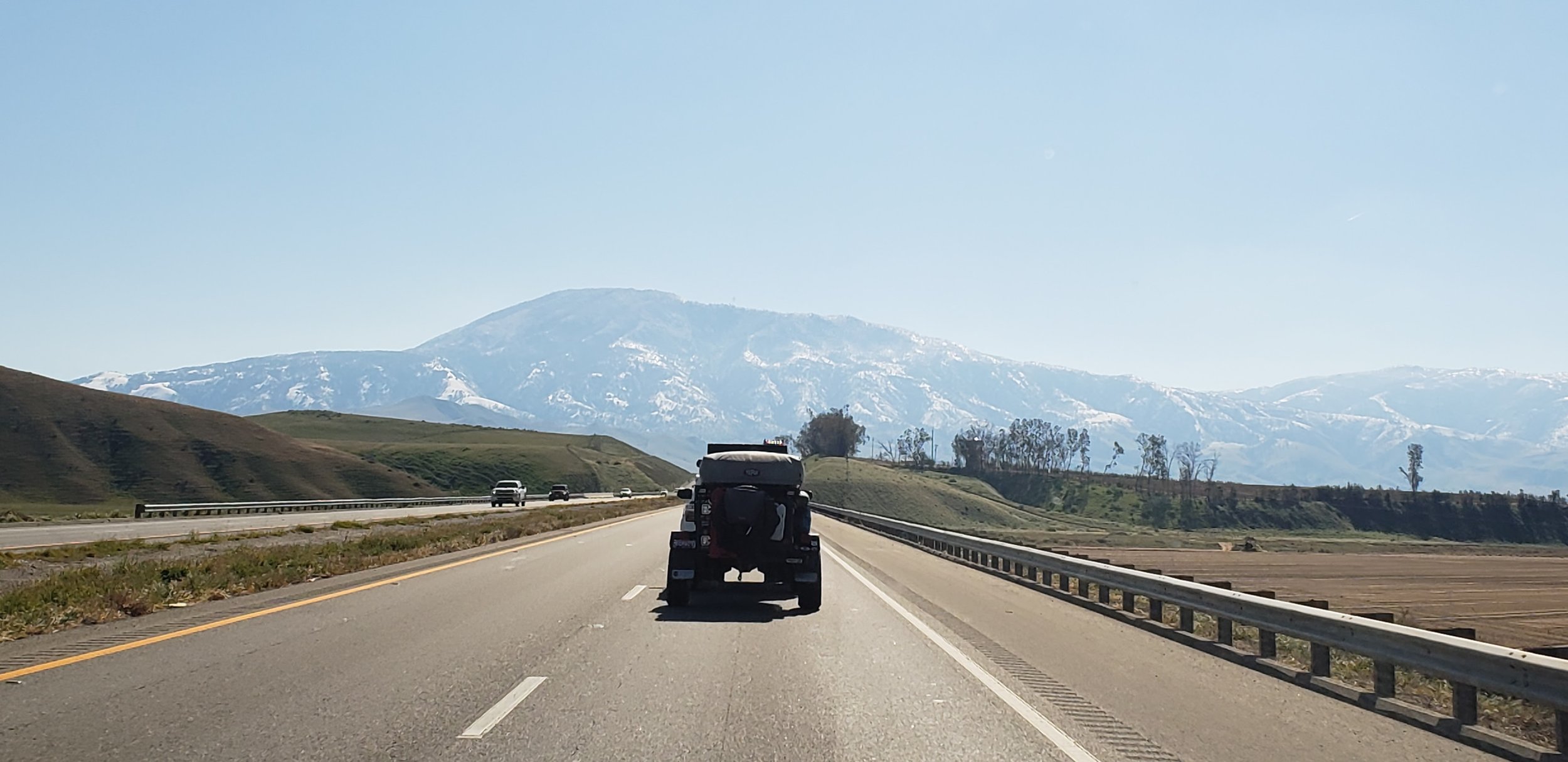
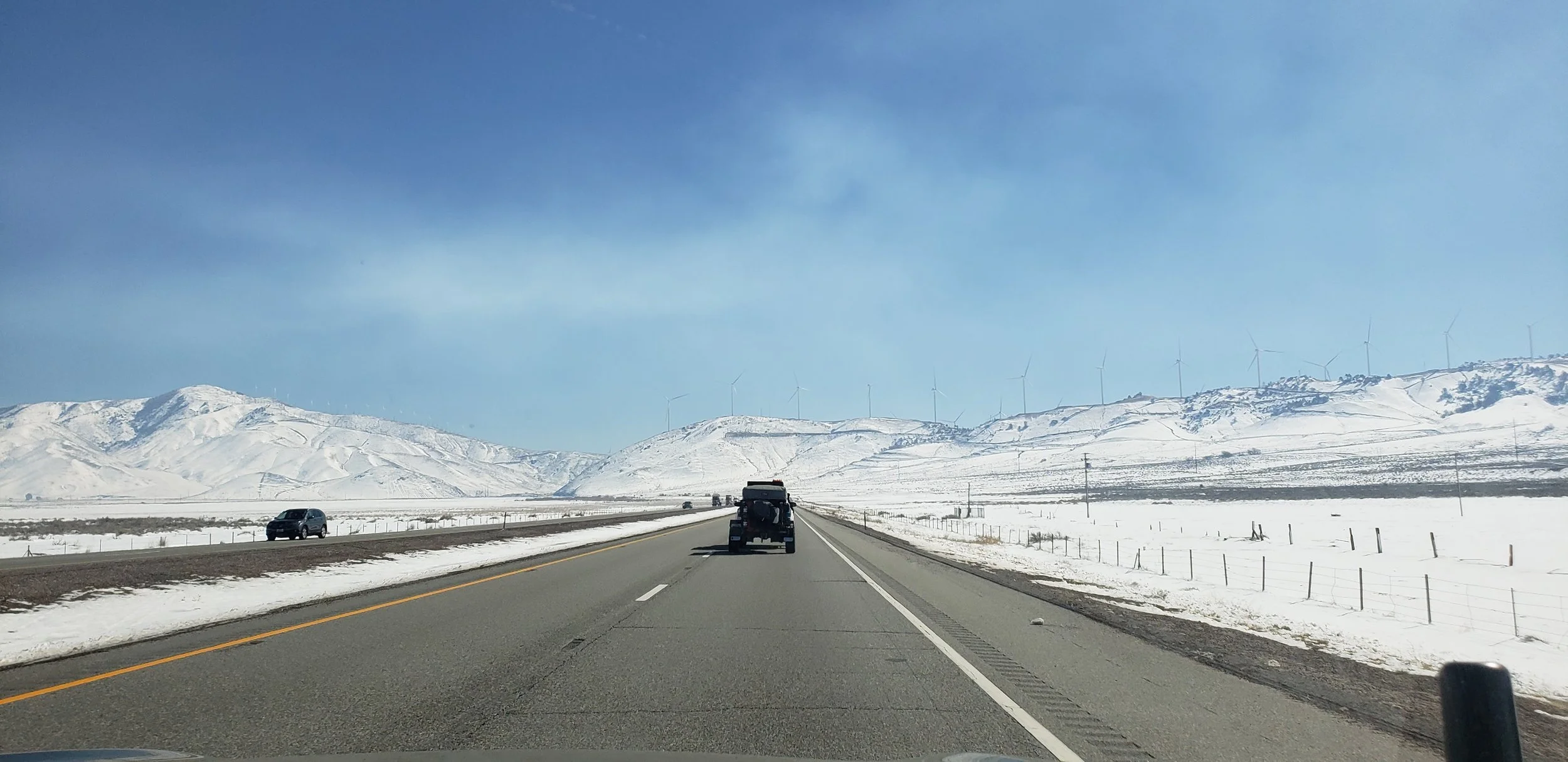
The first images on the road. We left Rocklin around 5:45 AM and were all very low on energy. First leg of trip was uneventful.
Below are some images we captured along the way.


Evaluating Routes into the Park
As we approached Death Valley we needed to look at a few different possible routes. We took a rest stop opportunity to pull out the maps.
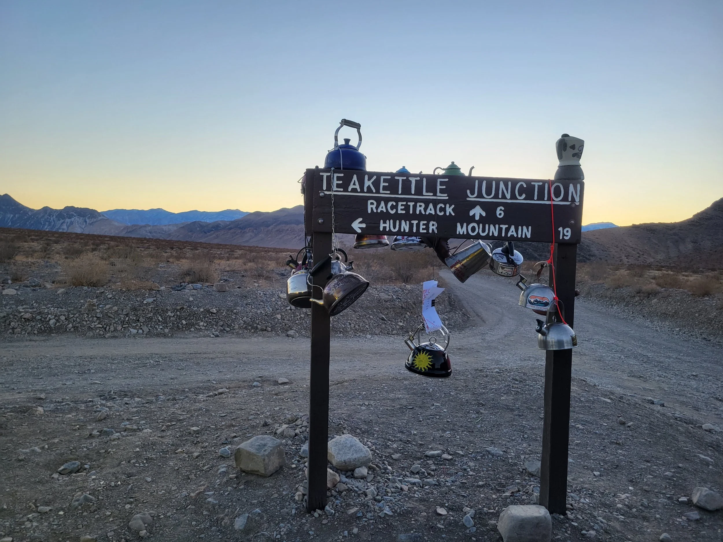
Option 1 - Round About via highway 190 on the East side
Option 2 - Saline Valley Road, this was a major unknown since we didn’t have detailed maps for trail dangers.
Ultimately we decided to take the longer and safer route.
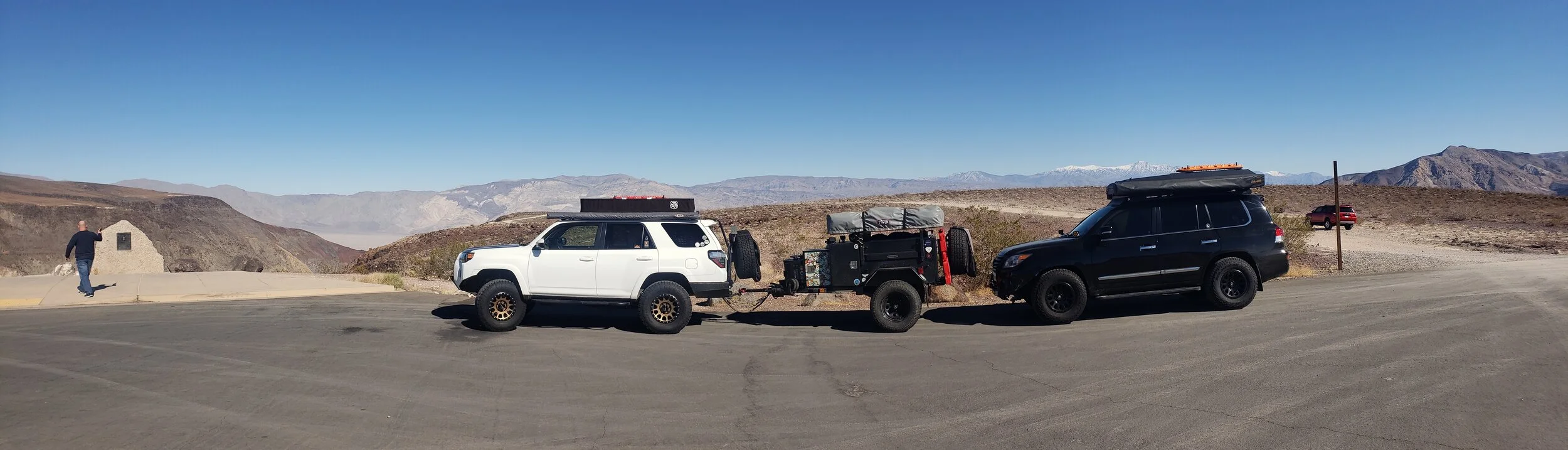
Panorama at Padre Crowley Point


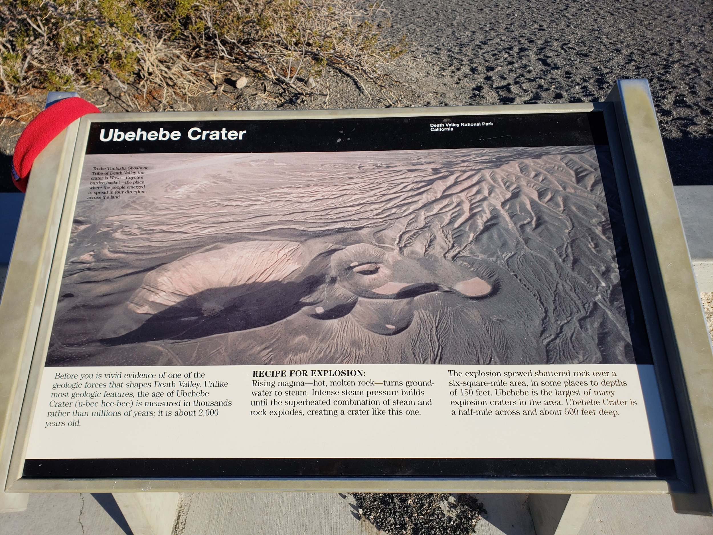
Ubehebe Crater - Giant Divot


First Day in the Valley
Friday was a free day for us so we took the opportunity to explore and see what is around our camp. As it turned out there are numerous mines very close to us so of course we had to take a look at them. We kept our distance generally as we aren’t knowledgeable about underground adventures, but it didn’t stop us from looking a little ways.

Base Camp
We ended up scoring a spot at the top. Overlooking the entire valley. Very spectacular!


In the tighter sections I got out and spotted just to be sure no accidents occurred. There was plenty of space, but with extra people (me) it doesn’t hurt to provide that extra level of comfort. Don’t look down Neil!

I also had to ride the Tank’s running boards. So much fun to be out on the side (mountain side). “Surfing” Safety First?

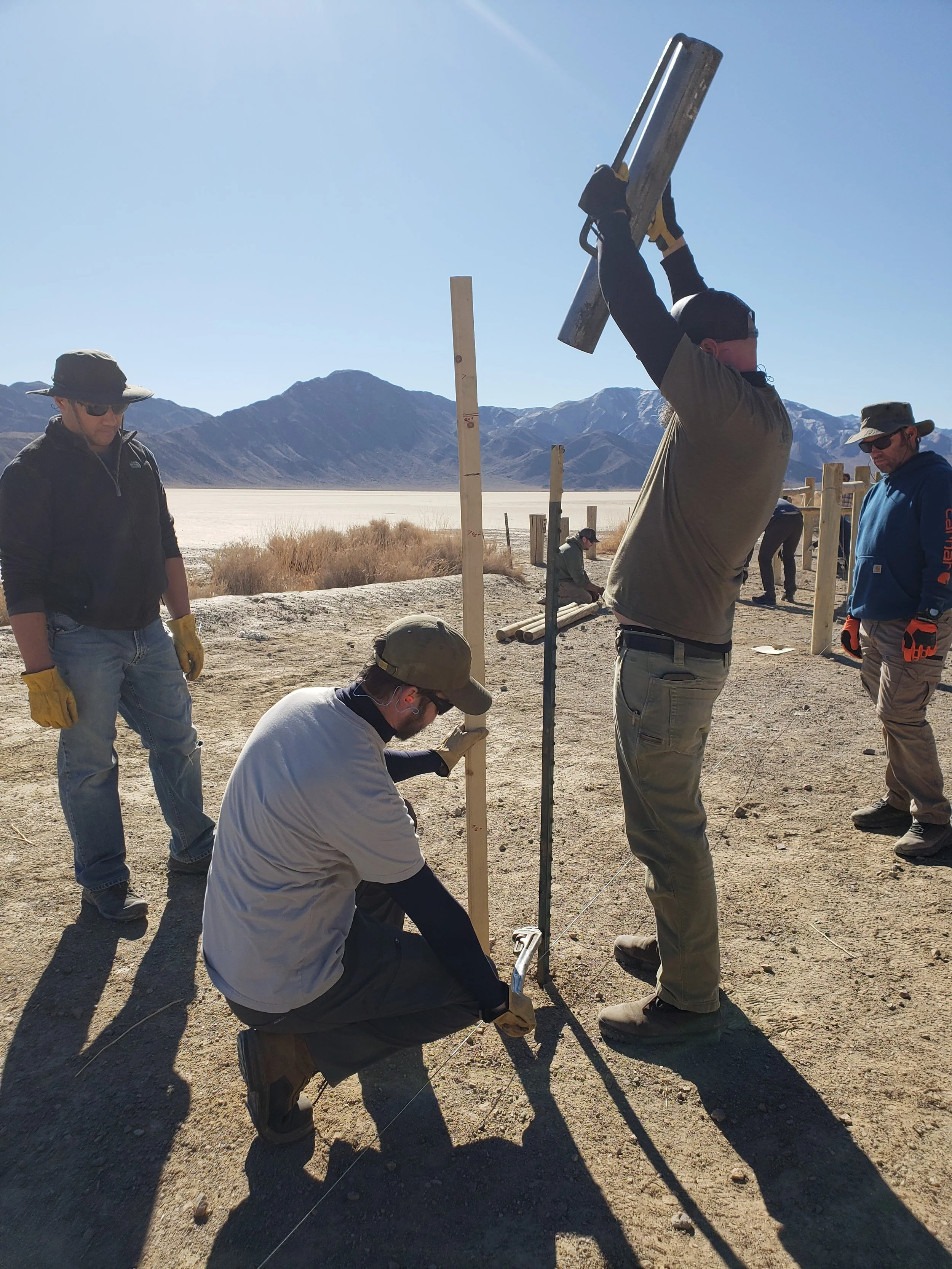
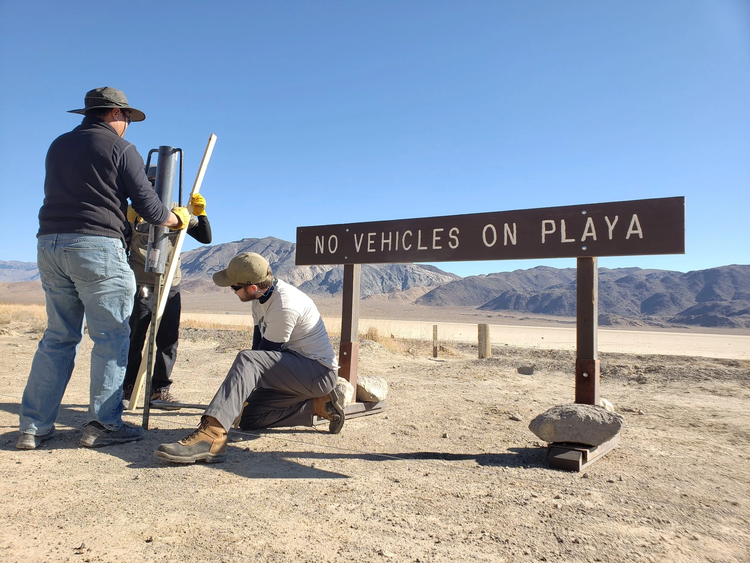
Work Day
Our actual purpose of the trip was to install some fencing because of unfortunate vehicular activities on the playa. The tracks the cars left will impact movement of rocks for decades to come. Our hope is to clearly identify the areas off limits to vehicles so that no future incidents occur. Very unfortunate that we had to put up the fence, but hopeful it will keep the area pristine for future generations. Below is a full gallery of our efforts. Long day, filled with work, waits and progress.
Overall goal was 2,400 feet, 1,200 in each direction from the center of the playa. We ended up finishing posts for the entire distance as well as 600 feet of actual fence. Learning experience for me with T-posts and wire fence building. Added to my knowledge base for future adventures.


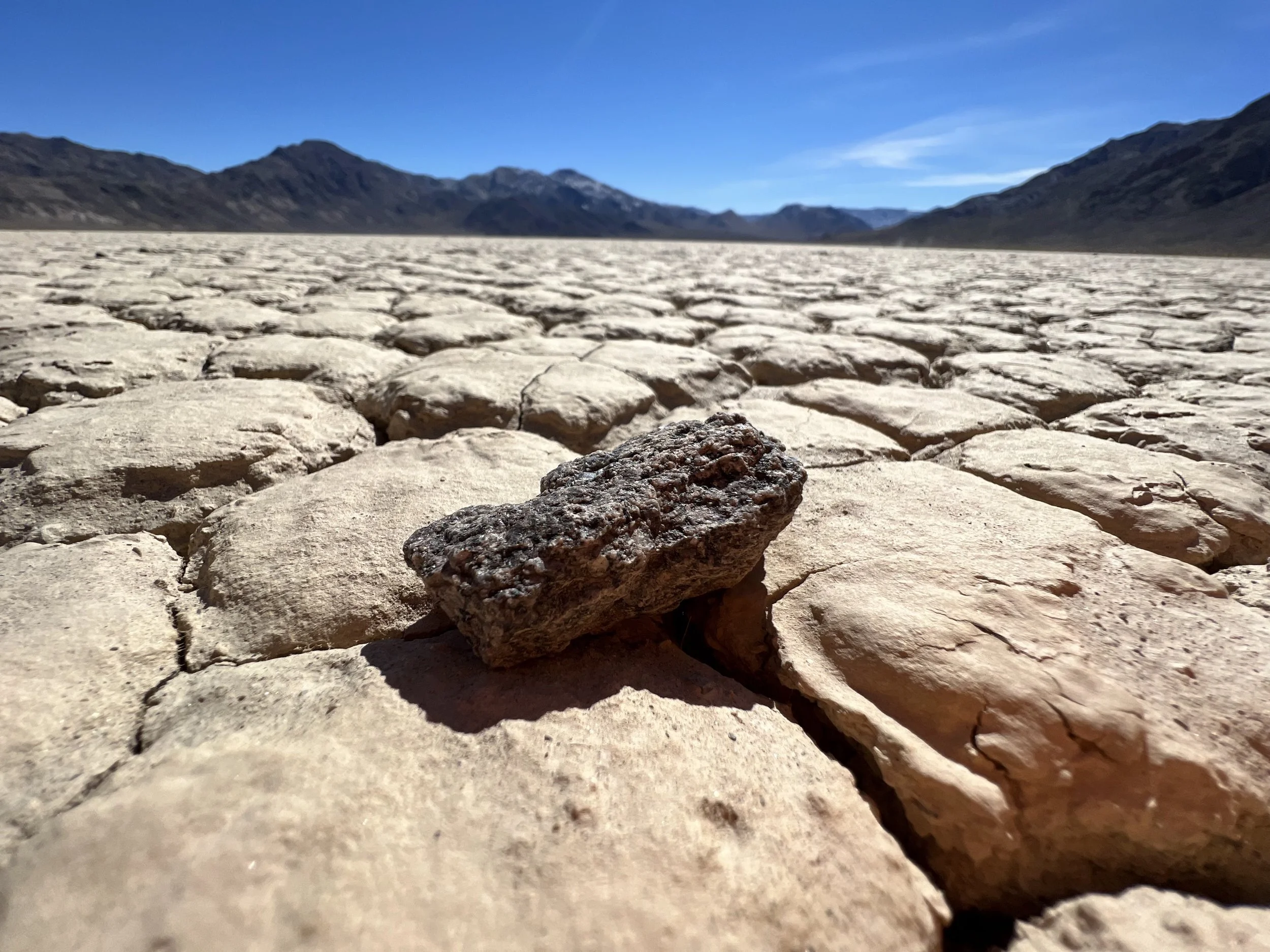
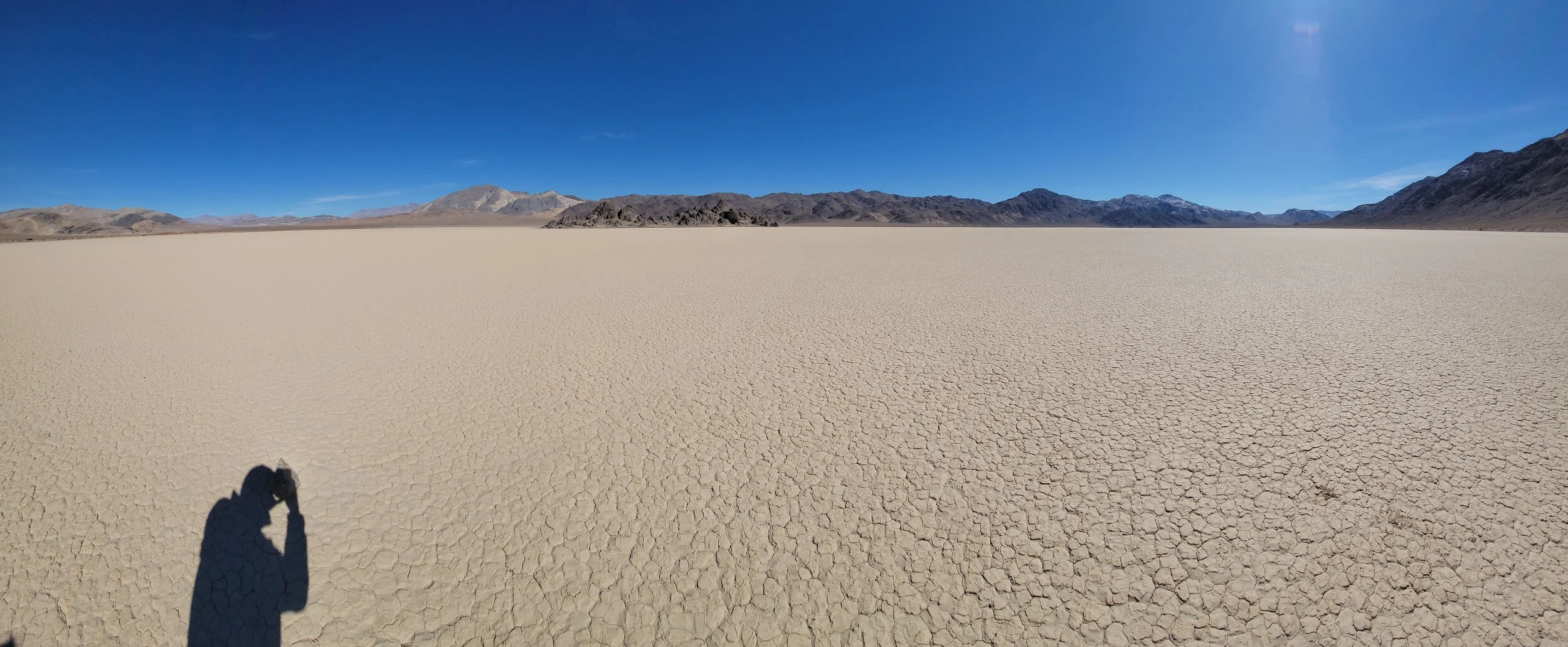
Upon close inspection the playa surface is actually not very smooth. Makes me wonder how rocks glide across the racetrack.
Time to say goodbye

Mike, Colleen, Michael (me), Neil, Makaylla, Julietta, Isabella (left-to-right)
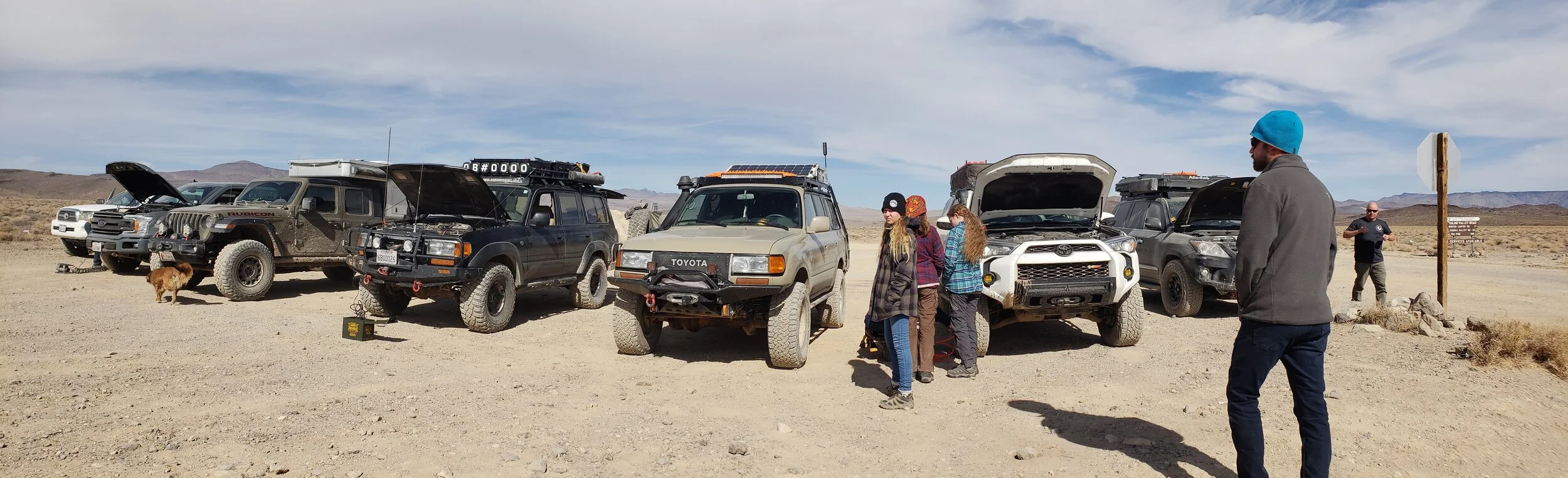
We started our journey back to the real world, lead by Kent of Overland Bound. Our convoy intended to head over hunter mountain road, taking the scenic view with a few challenges. Overall an epic route. Definitely would take this route again, but 4x4 or a friend with it is likely necessary.


Time to Air Up!
We found lava (pavement). The rest of the journey was less challenging, but still very pretty.
Saline Valley Road Entrance/Exit
Journey on Lava Home


Such a wonderful trip to explore a remote part of California. I look forward to the next trip down here.
We were able to participate in a restoration effort as well, preserving a piece of nature for the future. Even if it is just weird moving rocks on a flat playa.
Until next time…